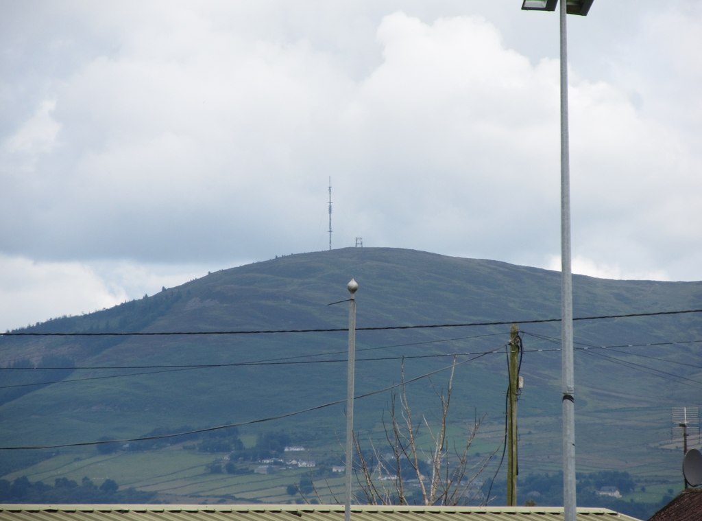
Clermont Cairn (from the South-East)
Clermont Cairn, a 1674 ft hill in Co. Louth, offers scenic views over Carlingford Lough, about 10 miles from Newry. It features a steep, well-shaped bowl and a tarmac road leading up to the transmitter at the summit. The hill offers great potential for both soaring and thermal conditions, especially for paragliding. However, hang gliders should note the limited bottom landing options due to steep downward slopes. Top landings, however, are suitable, and several club paraglider pilots have flown this site successfully.
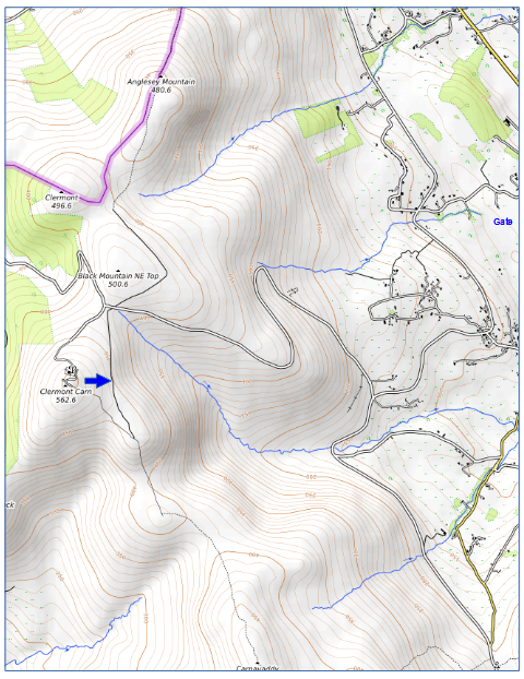
- Location: Irish Grid Reference J088159
- Wind Directions: East, 080° – 120°
- Suitability: Primarily for paragliding; bottom landings are challenging for hang gliders
- Pilot Rating: BHPA Club Pilot
Access Information:
- Road Access: From Newry, take the Carlingford Road. In Omeath, turn right, then take the first right, followed by a left. The road to the transmitter is on the right. Refer to a map for precise directions.
- Parking: Park along the road near the summit or at various launch points along the ascent.
- Site Access: Easy access with no restrictions.
Site Rules and Hazards:
- Special Site Rules: None.
- Hazards: No significant hazards. There is a telecom mast at the top, but it does not interfere with flight operations.
Landing Areas:
- Launch: Conveniently located next to the parking area.
- Bottom Landing Zone: There is a small field at the base of the bowl; otherwise, landing fields are limited and feature steep down slopes.
- Top Landing Zone: No significant challenges for top landing.
Air Traffic Control Restrictions:
- There are no air traffic control restrictions directly over Clermont Cairn. However, pilots should be aware that the Gormanston Military Flying Training Area lies 3 miles south of the launch site.